2025 Guided Hikes & Evening Program
4:00 pm - Freshwater Lake and Look-off
Freshwater Lake & Look-off Starting next to the ocean, this short, level, dry trail hugs the lake’s shoreline and returns on a section of the old Cabot Trail. A viewing deck lets you wait and watch for a beaver or muskrat. The unique song of the loon can be heard or catch a glimpse of one on the lake. Great family and fitness trail. Wheelchair and stroller accessible. Complete your stroll with a dip in the ocean or the Freshwater Lake. 1.7 km 30-40 minutes.
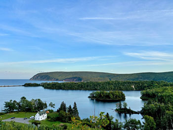
- Elevation 0-15 m.
- Difficulty Rating: 1B.
- Trailhead/Starting Point : Ingonish Beach Day Use parking Lot.
Freshwater Lake Look-off – Starting across the road from the Admin & Visitor Information Centre, This short but steep hike takes you to look-off with great views of Freshwater Lake, Cape Smokey, Middle Head and Ingonish Beach. 0.3 km 10 minutes, elevation 10-45m.
8:00 pm - Opening Ceremonies of the Festival
10:00 am - Franey
Trail Description -
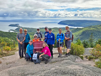
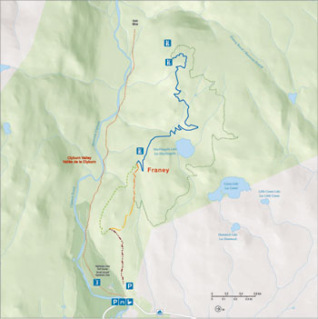
The trail climbs up through mixed Acadian forest to rewarding panoramic vistas. The summit, the former location of one of the series of fire towers dotting the highlands, offers a 360-degree view encompassing the entire Clyburn Brook canyon and the Atlantic coastline from Cape Smokey to Ingonish. 2 loops: 13km 17 -422m; full loop 4.3km 17-170m for the lower loop.
11:00 am - Warren Lake
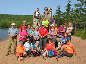
The trail hugs the shoreline of the park's largest lake and is alive with wildlife. A wide variety of birds flit through the trees and there is evidence of larger animals like moose and bear. Quiet hikers may catch a glimpse of one of these elusive animals. You will cross the new suspension bridge around the halfway point.
- Elevation: 15 m (50 ft).
- Time/Distance: 1.5hrs / 4.7km.
- Difficulty Rating: 2C.
- Trail head/Starting Point: Warren Lake.
3:00 pm - Broad Cove Mountain
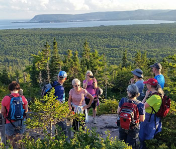
This hike will give you an amazing view on top. The steep climb up Broad Cove will be well worth the steps as you enjoy the panoramic ocean view at the top of the mountain
Trail head/Starting Point: A small parking lot on your right about 1/3 of the way in on the Warren Lake road. Civic Address - 110 Warren Lake Rd.
- Time/Distance: 1.5hrs / 2.3km (1.4 mi).
- Difficulty Rating: 3C.
10:00 am - Lowland Cove
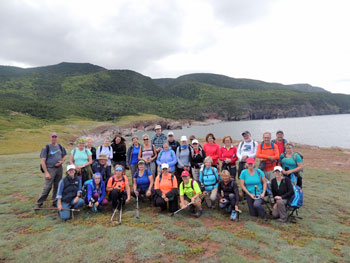
This hike starts off with a steep climb up the Old Fraser Rd, continue up hill until you reach the top of the mountain. In this first km and a half you will have climbed over 200m. A short level hike across the mountain, about half a km and then you will start a steep descend for about 2km before the trail gentles out some. ( about a km ). Them another 2kms of steep descend until you reach the grassy fields of Lowland Cove. Remember you will have to do the reverse when coming out. Challenging and Fun.
- Length: 14km return, Time: 5hrs+.
- Difficulty: 4D.
- Trailhead: Meat Cove Welcome Centre.
11:00 am - Meat Cove Mountain
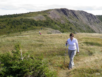
Start at the Meat Cove Welcome Center. Climb up the Fraser Trail to meet the Cape St. Lawrence Trail. Continue up the Cape St. Lawrence Trail to the Meat Cove Look Off turnoff). The hike thus far is on a well defined trail/road. Time approximately 30 minutes. The Look Off Trail is ‘in the woods’, look for the green trail markers. Continue up the Look Off Trail for another 30 minutes to the ‘brink’ overlooking Meat Cove River and the Cape Breton northern coast to Bay St. Lawrence. The trail returns the same way you came in. Continue back to the Welcome Center.
- Time/Distance: 2.5 hrs / 4.5 km.
- Difficulty Rating: 4C.
- Trail head/Starting Point: Meat Cove Welcome Center.
3:00 pm - Little Grassy
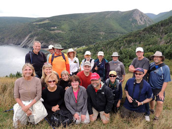
A short hike that provides some incredible views of the community of Meat Cove at the summit. Don’t forget your camera. Advisable to take your trekking/hiking poles with you. If this trail is wet it can be slippery. Poles will help you with your balance.
- Trailhead – Meet at Meat Cove Welcome Centre.
- Distance – 3 km return , Hiking Time – 2 hrs.
- Difficulty – 4C.
6:30 pm - Sunset hike - Le Bloc.
Sunset hike - Le Bloc 6:30pm. Sunset - 7:13 pm.
10:30 am - Otter Brook
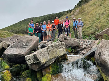
Otter Brook hike is about halfway into Pollett's Cove. You will pass thru several brooks - Black Brook, Halfway Brook before reaching Otter Brook - a steep sloping field. The trail starts out reasonably level and easy. The crossing at Black Brook requires some 'stone stepping.' Then comes the steep portion of the trail. After the steep section, the trail is more or less downhill to Otter Brook. The walk in is more strenuous than the walk out because the climb is steeper.
Trailhead: Parking, registration, and trailhead: at the end of the Red River Road. Turn off of the Cabot Trail in Pleasant Bay and continue for 9.4 km- over the Red River bridge onto the dirt road, past the Gampo Abbey, to the end of the road. There is an obvious parking area. Do not drive over the bridge with a gate on the far side.
Significant Feature: Acadian forest river canyon, waterfalls.
- Length: 6.4 km (4 miles) return.
- Hiking Time: 3-4 hours.
- Elevation: 217m.
- Trail Rating: 4C.
11:00 am - MacIntosh Brook
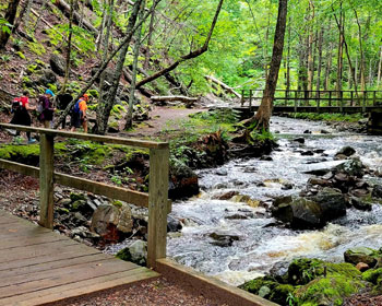
Imagine a nice, easy, fairly level stroll along a babbling brook and through a mature hardwood forest with a scenic waterfall at the end. Add to that the songs of forest birds and you have this relaxing trail. Caution: exposed tree roots. 1.7 km. 45 minutes. Elevation 30-65 meters.
- Difficulty Rating – 2C.
- Trailhead/Starting point – MacIntosh Brook Picnic Area. Civic Address – 24150 Cabot Trail.
MacIntosh Brook Trail Map, CBHNP.
(Copyright Parks Canada 2007-2024. Used with permission)
3:00 pm - Gypsum Mine
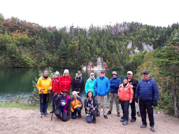
The Cheticamp Gypsum Mine was in operation from 1908 to 1939. Today it has become a popular hiking, and ATV trail that has a unique swimming hole. Don't forget to take your swimming trunks or bathing suit.
Trailhead: Heading South on main street in Cheticamp turn left on Barren Road past the NS Liquor Store & Post Office. Continue on Barren Road until you come to a Y intersection. Stay to right on Barren Forks Road until the end. Turn left on Cheticamp Back Road. The Trailhead is about 6 minutes from here. You will see a parking lot to the right and two big boulders.
- Length: 3km (1.9 mi) return, Time: 3/4 of an hour to 1 hour.
- Difficulty: 2B.
10:00 am - Fishing Cove
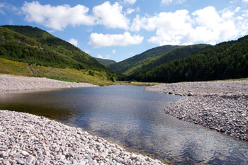
Steady descent through hardwood Acadian forest to a small cove on the Gulf of St. Lawrence ( Atlantic Ocean), once home to several Acadian families and a small lobstery cannery. Prime example of 17 forested canyons in the national park. Whales, eagles, gannets, kingfishers can been seen in the cove. Steep Uphill returning.
Trail head/Starting Point: On the Cabot Trail at the top of MacKenzie Mountain. Watch for Hike the Highlands Festival sign.
- Time/Distance: 5-6hrs / 12kms.
- Difficulty Rating: 4C.
11:00 am - Chemin de L'Abime
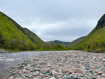
This trail follows an old prospectors road built in the 1890’s along the Cheticamp River (opposite the Salmon Pool Trail). The trail passes by an old prospectors camp (that has been renovated), then along a rock quarry where Le Montagne Noire drops into the Cheticamp River Valley – offering great views of the upper Cheticamp River Valley. Keep going up this road to a small detour to visit the Lower Faribault river falls, then back up to the main trail to reach the destination point which is the wooden bridge that crosses the Faribault River. Return via the same route. This is a nice easy hike that offers different views of the Cheticamp River Valley.
Not a loop – you will be following the same trail on the way back.
- Hike Length: approximately 8.3km (return).
- Hiking Time: 2 hours.
- Trail Rating: Easy.
3:30 pm - NHN
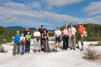
A 4km hike though the trails of North Highland Nordic, home of Cape Breton’s most northerly x-country ski/ snowshoe club. This trail takes you through the wooded trails, an old abandoned gypsum quarry, and along North Harbour with spectacular views of Tenerife Mtn.
Trailhead/ Starting Point is 29483 Cabot Trail, Cape North. Start at NHN centre parking lot.
- Time/distance: 2hrs+ / 4 km.
- Difficulty rating: 1B.
10:00 am - Aspy
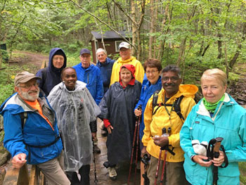
Hiking along the old Aspy Trail you follow in the settler’s footsteps up to the Highland plateau. This old trail starts at Beulach Ban falls and follows along the Aspy Valley offering spectacular views of the Aspy River below and the flora and fauna that make this area their home. Recent trail work has made crossing streams easier but waterproof hiking boots is recommended. There is an excellent view from the red chair of the mountains and Aspy Valley.
- Trailhead – Take the Beulach Ban Falls Road and park at the falls.
- Significant Feature – Hardwood river valley.
- Distance – 9.6 km return.
- Hiking Time – 3 to 4 hours.
- Difficulty – 3C.
11:00 am - Mica Hill
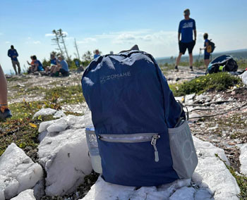
This breathtaking trail winds through Acadian mixed forest and stunted taiga as it climbs to the wind-swept highlands plateau. It offers 360o views spanning the barrens, the dramatic Aspy fault, coastal villages far below and mountains reaching the most northern tip of Cape Breton. Continue along a narrower footpath to Mica Hill’s remarkable outcrops of quartz and mica.
- Length : 8 km return.
- Time: 3 -3.5 hrs.
- Difficulty – 3C.
- Trailhead: On the Cabot Trail – Take the Paquette Lake road and park at the lake.
3:30 pm - Cabot Landing Beach
A fun and relaxing hike where hikers can enjoy the sand, ocean waves and the mountains in the background. Some amazing photos have been taken over the past 3 years. Take time to look at the cairn, and plaques at the Cabot Landing Provincial Park. The pointed mountain in the background is the Sugar Loaf mountain.
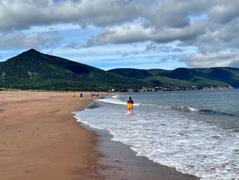
- Time/Distance: 1.5- 2 hrs / 4 km.
- Difficulty Rating: 1B.
Trail head/Starting Point:
Drive north from Cape North heading to Bay St. Lawrence. Look for the Cabot Landing Provincial Park. Turn right and park in the provincial park. The hike begins on the beach.
6:00 am - Sunrise Hike - Jack Pine
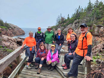
Along this loop trail you will discover trees that grow in the cracks of rocks and need a forest fire to open the cones allowing them to grow! This Jack Pine forest, though common in Canada, is rare in Cape Breton. Interpretive panels tell the story of this area, beginning with a fire in 1921, a budworm infestation and the hardy vegetation that survives today in this harsh coastal environment. The effects of the wind, rain, sun, cold and salt all take their toll. Sunrise at 6:45 am.
- Caution: Cliffs.
- Trailhead: Turn off the Cabot Trail at the Black Brook day use area and turn left to the upper parking lot.
- Civic address: 33637 Cabot Trail.
- Significant Feature: Atlantic coastline.
- Length: 2.3 km loop.
- Hiking Time: 1.0-1.5 hours.
- Trail Difficulty – 2C.
- Elevation: 0 – 50 m (0 – 165 ft).
Jack Pine Trail Map –
Cape Breton Highlands National Park.
(Copyright Parks Canada 2007-2024 Used with permission)
2:00 pm - Middle Head
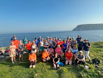
Along this walk there are views on both sides of the path of the mountains, the sea and the rocky cliffs. The trail begins near the Keltic Lodge and travels to the tip of Middle Head and back. The Corson’s who were befriended by Alexander Graham Bell, owned this estate during the early part of the century. This was also the site of a fishing village at the turn of the century.
- Time/Distance: 2 hrs / 4 kms (2.5 mi).
- Difficulty Rating: 2C.
Trail head/Starting Point:
Follow the road signs to Keltic Lodge in Ingonish Beach. Proceed past the main lodge to the parking lot . A set of stairs on the left side marks the beginning of the trail. Civic Address – 392 Keltic In Rd.
Middle Head Trail Map (Cape Breton Highlands National Park).
(Copyright Parks Canada 2007-2022. Used with permission)
7:00 pm - Closing Ceremonies
11:00 am - Clyburn Valley
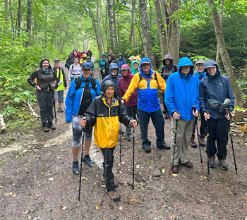
Hikers will marvel at the spectacular stands of hardwood trees, boulders bigger than cars, old abandoned beaver ponds, meadows, apple trees and even the remains of an old gold mine! This trail follows the river for most of the way, but you can catch a glimpse of the Highlands Links, Canada’s #1 Public Golf Course, as it weaves its way up this valley. Feel humbled by the sheer rock face of Franey Mountain 425 m (1400 ft.) above.
- Time/Distance – 2-3 hours / 8.5 km.
- Trail Difficulty : 2C.
Trailhead/Starting point :
Parking lot past Clyburn Picnic Park & Bridge.


